Progress so far

English and Welsh Hewitts completed: 9/317
Showing posts with label pennines. Show all posts

Saturday, 20 July 2013

Black Hameldon

Route: Gorple Lower Reservoir - Reap's Cross - Noah Dale - Hoof Stones Height - Hare Stones - Gorple Stones - Widdop Reservoir

Distance: 9.8 miles

Classification: None

Weather: Cloudy, warm, mostly dry under foot

It's difficult to find many words to say about this walk, this is good, honest, featureless moorland. But that's not to say it isn't an enjoyable walk, if it's solitude and peace you require on the hills then Black Hameldon is a good choice. 

The walk started at a small lay-by car park near to Gorple Lower Reservoir. I joined the Pennine Bridleway and walked along the dam before joining the Pennine Way, with the intention of taking in the trig at Standing Stone Hill. Unfortunately for me, the path on the OS map from the Pennine Way to the trig has disappeared, so I gave up the ghost and returned to the Pennine Bridleway.

I then turned off the Pennine Bridleway to take in Reap's Cross. The cross dates back to the 1400s and marks an ancient pathway across the Pennines. It was restored in 2002 by local residents having broken in two.

From Reap's Cross I followed a very faint path to Noah Dale which was the beginning of the climb to Black Hameldon's summit, Hoof Stones Height. It didn't take long from here to reach the summit. Something I really enjoyed about this hill is that the views are saved until you are within just seconds of the summit, you have no idea what's in store, no sneak previews, then suddenly you are surrounded by 360 degree views to Pendle Hill, Stoodley Pike, Emley Moor, Boulsworth Hill, the Bowland fells, and on a good day like today even Ingleborough and Pen-y-ghent far to the north.

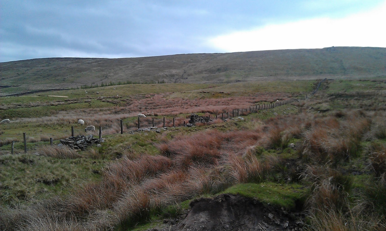
From the summit I followed the ridge north to Hare Stones and then on to Gorple Stones. Again there isn't much of a path but a fence separating Lancashire and Yorkshire can be used as a handrail here.

Finally the walk takes in Widdop Reservoir, probably the most picturesque part of the walk other than the summit. As said earlier, this is barren moorland, but I personally enjoy this. The higher peaks will attract the hordes in good weather, I'd rather leave them for during the week and take in a good walk like this where you'll be lucky to come across a dozen people all day.

Gorple Lower Reservoir shortly after starting the walk

Reap's Cross - originally dating back to the 1400s

Reap's Cross with the Pack Horse Inn at Widdop in the background

The faint path leading to Noah Dale

Thankfully a few of these helped confirm you were heading in the right direction

At the summit now, and a faint Ingleborough in the distance

Beautiful Pendle Hill

Hoof Stones Height trig - 479m

A faint Pen-y-ghent in the distance

Burnley and Turf Moor with the Bowland hills of Parlick and Fair Snape Fell in the distance

The regular lunch stop pic


The handrail fence that leads from the summit to Hare Stones and on to Gorple Stones

Hameldon Hill

Widdop Reservoir from the Pennine Bridleway

Widdop Reservoir from the dam

Monday, 15 July 2013

Whernside

Route: The Station Inn, Ribblehead - Ribblehead Viaduct - Blea Moor Sidings - Slack Hill - Grain Ings - Whernside Summit - Broadrake - Ivescar - Gunnerfleet Farm - Ribblehead Viaduct - The Station Inn, Ribblehead

Distance: 8.3 miles

Classification: Marilyn, Hewitt, Nuttall, County Top (North Yorkshire, and the whole of Yorkshire)

Weather: Glorious, welcome slight breeze, slightly colder on top


On another glorious day in 2013, we're having a few, we set off early up to North Yorkshire for the climb of Yorkshire's highest peak, Whernside. At 736 metres (2,414 feet), Whernside is slightly higher than it's near neighbour Ingleborough, which I climbed a few weeks before. 

My walking partner, the Mrs, is still recovering from ankle ligament damage descending Simon's Seat, so she sunbathed on a patch of grass near to Ribblehead Viaduct while I climbed Whernside on my own. She had a nice day by all accounts, certainly more relaxing than mine!

I had read that Whernside didn't have any particular highlights in the way its Three Peak counterparts Ingleborough and Pen-y-ghent do, but being higher than both is an attraction in itself, and the walk does begin at the picturesque Ribblehead Viaduct which is great setting for the start of the walk.

It is true that the climb up Whernside is more remote and desolate than Ingleborough and Pen-y-ghent, but this suited me, as with it being such a nice day I was expected hordes of people on Whernside. I saw maybe 40 people on the whole of the walk, not many when you think this is Yorkshire's highest peak and one of the Yorkshire Three Peaks.

The climb itself isn't too strenuous, the sharp climb up to Little Ingleborough is much harder, the track up Whernside is a long, gradual slog, not bad at all. The descent though is difficult, it is steep and mentally tiring as you are constantly choosing where to put your feet. If you want to admire the views, make sure you stop as you may find yourself tumbling over or turning your ankle over here.


The start - Ribblehead Viaduct with Whernside behind

Here we go!

Looking at Whernside from Blea Moor signal box

Force Gill waterfall - can look impressive, not today though

The clear path up

Another viaduct further along the line

A look back at the path up

Un-named tarn near the top

A closer look at the Howgills with the shapely Yarlside dead centre

Looking north with the Howgills on the right of shot


Ingleborough and a faint Pendle back to back

Whernside summit - 736 metres

A closer look at the battered trig

The tight walkthrough to the trig, what's this all about?

Looking down at Ribblehead Viaduct from Whernside

Lunch stop pic - still on the top

A final look at Ingleborough - recently I've seen it called 'Yorkshire's Table Mountain', I can see why

A closer look at Ribblehead Viaduct at the end of the walk

Monday, 27 May 2013

Boulsworth Hill

Route: Wycoller - Bronte Way - Pendle Way - Little Chair Stones - Lad Law - Abbot Stone - Pendle Way - Lodge Moss Farm - Trawden - Wycoller

Distance: 9 miles

Highest Point: Lad Law - 517 metres

Weather: Cloudy and windy

A view of Pendle Hill before starting

Boulsworth Hill awaits

The remains of Wycoller Hall

Packhorse bridge, Wycoller

Clapper bridge, Wycoller

Willow arch, Wycoller

Turnhole Clough

Plenty of these about, good for when in poor visibility which Boulsworth Hill is notorious for

The climb starts

Little Chair Stones

Near the top now


The trig

Lad Law - 517 metres


Looking around at the top

Pretty dry today, thankfully

Lunch stop pic, decent windbreak

Abbot Stone with Burnley in the distance

Towards the end of the path down

A final look at Boulsworth Hill